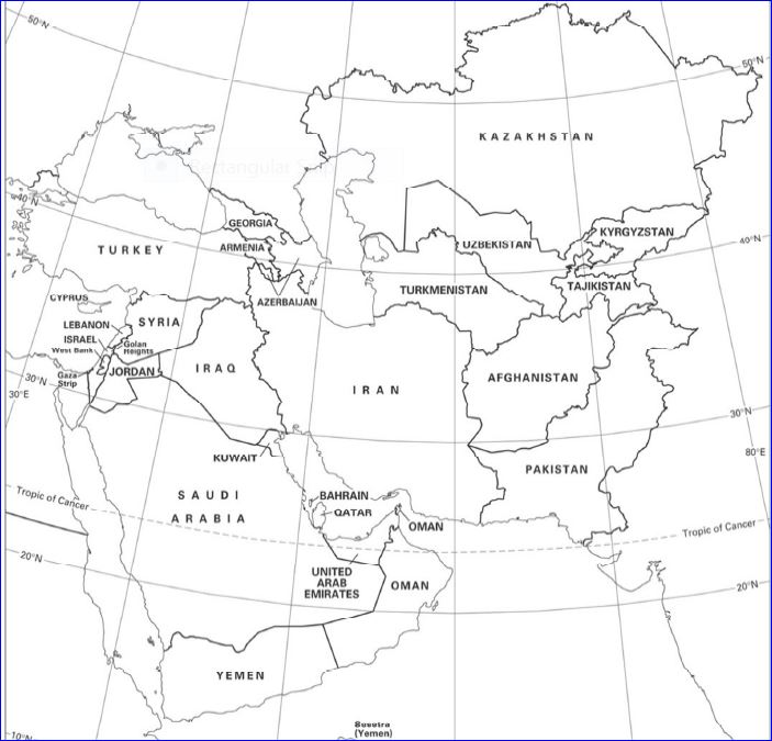
Geography
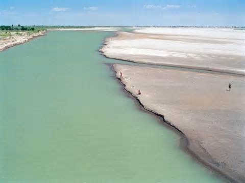 Anu Dar’ya River
Landforms & Major Bodies Of Water
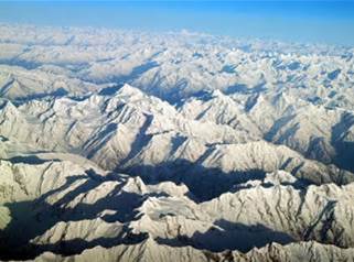
•The Hindu Kush Mountains runs northeast to southwest which was dividing the northern provinces from the rest of the country; the highest peaks are in the northern Vakhan (Wakhan Corridor).
•Many mountain landscapes.
•More than 50% of the total land area lies above 6,500 ft. (2,000m)
•All culminates in the high peaks of the Hindu Kush, where extensions of the Pamir Mountains, Karakorum Mountains and the Himalayas had all came together
•The Highest point in the country is Mt. Nowshak
•In the north a fertile plain faces Anu Dar’ya River.
•In the south way below the mountains there are deserts and scattered salt that flatly covers the land.
•Afghanistan is drained by many rivers; including Anu Dar’ya, Hari, Helmand, an the Kalbul river,
•Near east of Kabul, there the Indus River from Pakistan is there.
Landmarks
Jam Minaret: It’s a 65m tall structure that represents the Islam's “VICTORY TOWER”.
Kabul Old City: The heart f Afghanistan and the largest city in the country.
Khyber Pass: The crossroads between Central and South Asia is yet to be discovered by visitors. Khyber Pass Road is known from its historical contribution to society, through exploited combats and never-ending distribution, is one of the most talked-about places in Central and South Asia
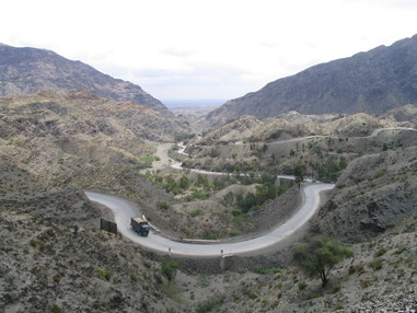
One side of the Khyber Pass.
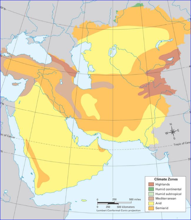
Climate
|
|
Arid to semiarid; cold in the winter and hot in the summers.
|